Pin the spot where the street fails.
Walk downtown Toronto in 3D, stand where the curb cut is missing or the crossing feels unsafe, and leave a note there. No meeting, no form.
Start walking.
Free · no accountLoading downtown Toronto…
WASD move · mouse look · click to pin · U agree · P planner panel · M map · F fly
d-pad move · drag look · PIN and AGREE buttons
How it works.
Three steps1
Walk
First-person downtown Toronto, straight in the browser.
Photorealistic tiles, or the free OpenStreetMap city.
Photorealistic tiles, or the free OpenStreetMap city.
2
Pin
Click where you are looking, pick one of seven categories — accessibility, safety, flooding, no shade, transit, green space, other.
Add a note of up to 48 characters.
Add a note of up to 48 characters.
3
Agree
Walk past someone else's pin and press U.
Votes turn one complaint into a signal.
Votes turn one complaint into a signal.
7
categories
48
characters per note
1
click to report
0
accounts
Why not just call 311?
Complement, not replacement311 reports a defect where you are standing, now.
It cannot carry an opinion about a place you are afraid to walk to, or about a bike lane that doesn't exist yet. A comment form strips out the exact spot, the sightline and the scale. CityPin keeps all three: a pin carries coordinates, a category and the view you had when you left it, and it exports straight into the GIS a city already runs — or into the 311 queue as a georeferenced request.
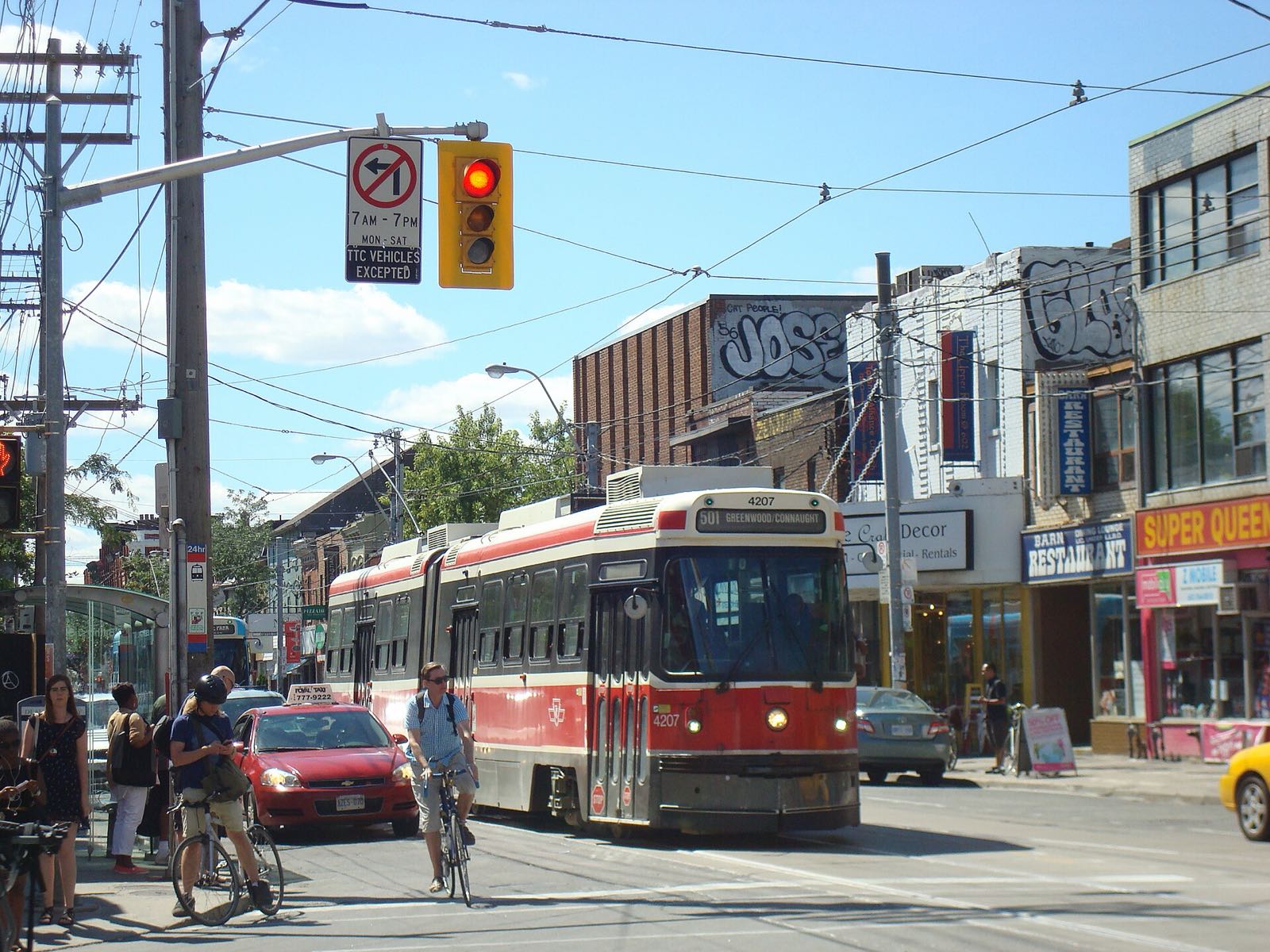
The crossing at Queen and Spadina
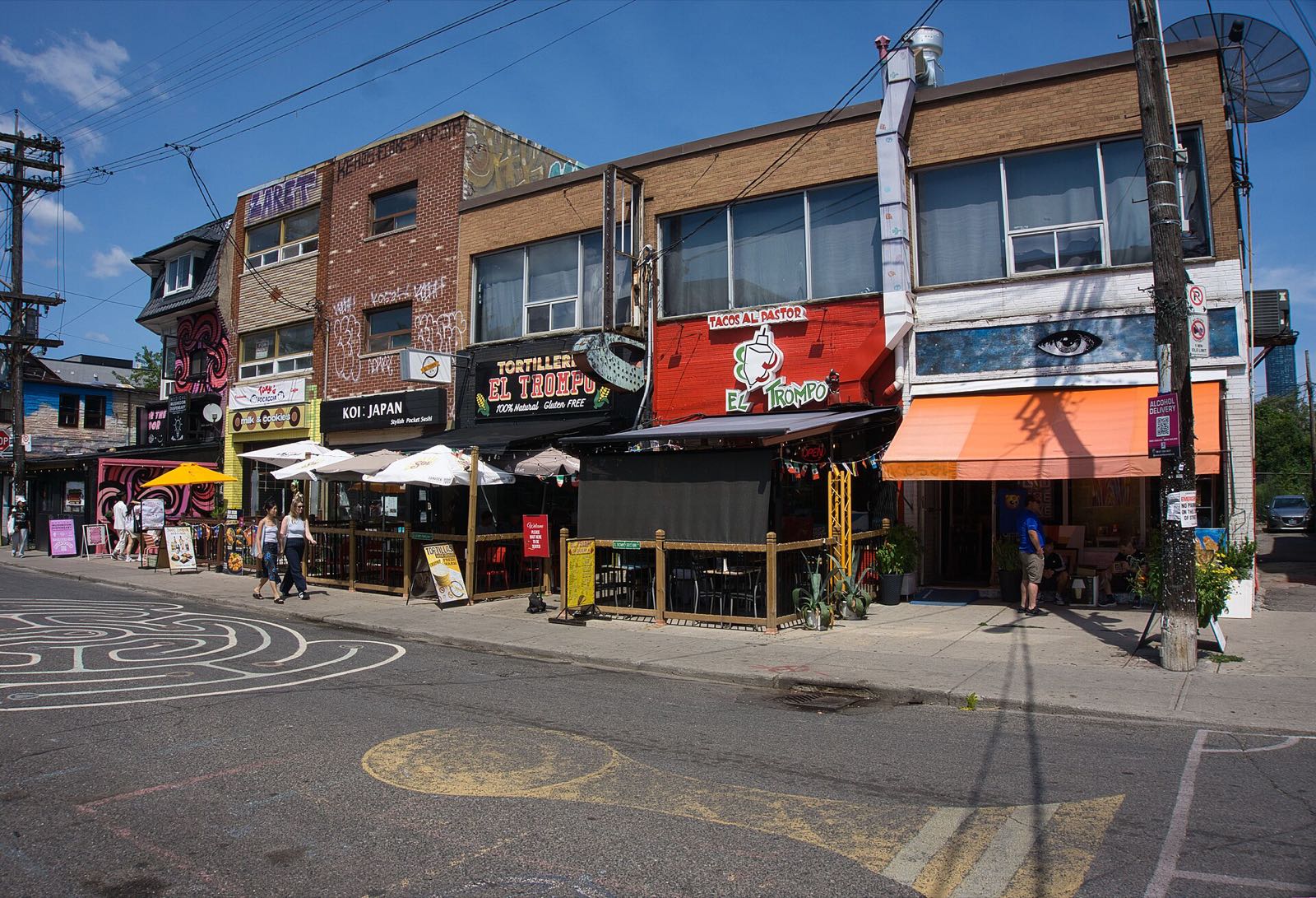
A sidewalk with no curb cut
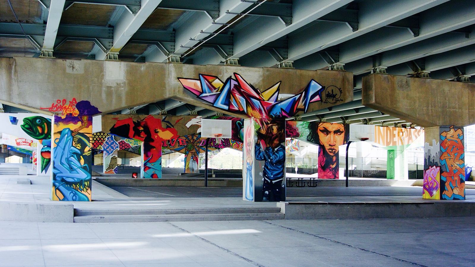
The underpass people avoid after dark
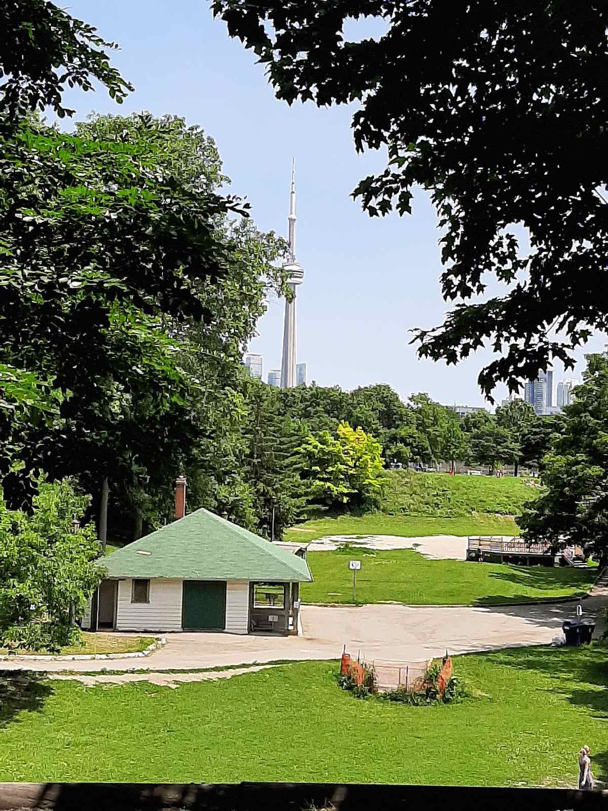
A park with nowhere to sit in the shade
Built for SDG 11.
UN Sustainable Development Goal 1111.3 · Inclusive, participatory urbanization
Consultation stops selecting for who is free on a Tuesday evening. Older people, disabled people, shift workers and parents report from home, standing in the spot.
11.2 · Accessible transport for all
Pins mark the barriers on the way to transit: missing curb cuts, blocked sidewalks, no seating at the stop.
11.7 · Safe, inclusive public space
Dark underpasses, unshaded waits and unusable parks get a location, a category and a count.
For planners.
GeoJSON · CSVA ranked map, not a comment pile
Press P for the planner panel: every pin with category, note, votes, distance and age. Filter and sort, then click a row to teleport to it.
Opens in the GIS you already run
Export a GeoJSON FeatureCollection (longitude, latitude) or a CSV. No procurement, no integration project.
Open by default.
OpenStreetMap · CC0 charactersCity data comes from OpenStreetMap and the engine is open source, so any city with OSM buildings can be stood up by re-running the fetch script against a new bounding box.